
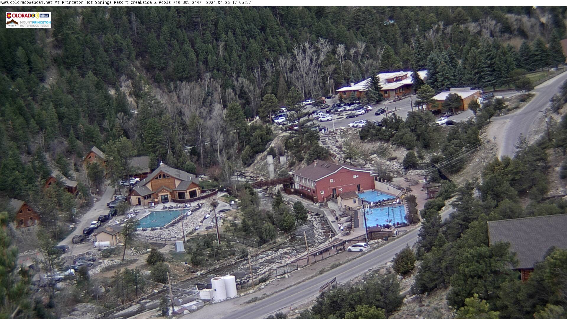
Mt Princeton Upper Infinity Pool
Colorado Web Cams
Mt Princeton, Colorado
Nathrop, Colorado
Browns Canyon National Monument
(Note: This page may need reloading on some browsers for new views)
Mount Princeton is a high mountain summit (14,204 feet / 4330 meters) of the Collegiate Peaks in the Sawatch Range of the Rocky Mountains. The fourteener is located in San Isabel National Forest. The nearby hot springs, its namesake, are between the ghost town of St Elmo, and Nathrop, Colorado, on Country Rd 162.
Nathrop, Colorado, is a small town in Chaffee County and is 7.8 miles south of Buena Vista. It's elevation is 7,687 feet (2,343 meters) and its population was 288 at the time of the 2020 census. Browns Canyon National Monument is just 5.4 miles/10kn from Nathrop, but the only roads to it (Hwy 285/CO 301/300), is a 16.5 mile trip, one way, since there's no local road that goes over the Arkansas River, that is between the 2 locations.
Browns Canyon National Monument is a 21,586 acres (87 km2) national monument in Chaffee County, Colorado, along the Arkansas River between Buena Vista and Salida. Browns Canyon is the most popular destination for whitewater rafting in the country, and is also known for its fishing and hiking. The monument provides habitat protection for bighorn sheep, peregrine falcons, elk, and golden eagles.
Overall climate: Nathrop has a semi-arid, high-desert mountain climate with mild, sunny summers and cold, snowy winters, seeing annually 52 inches of snow. It is generally dry, sunny, and windy; Browns Canyon, has a semi-arid, high-elevation climate, characterized by sunny, dry conditions, cold winters, and moderate summers; Mount Princeton, a high-altitude alpine climate with cold, snowy winters and mild to warm summers; Mt Princeton Hot Springs features a high-altitude, semi-arid mountain climate bringing sunny days with significant temperature drops at night.
- First 4 cams from Mt Princeton Hot Springs Pools -
(These 4 cams from Coloradowebcam.net)
Mt Princeton Upper Infinity Pool

Mt Princeton Hot Springs - Spa Slides
To view live streaming from this cam, visit our United States WebCam site, here.
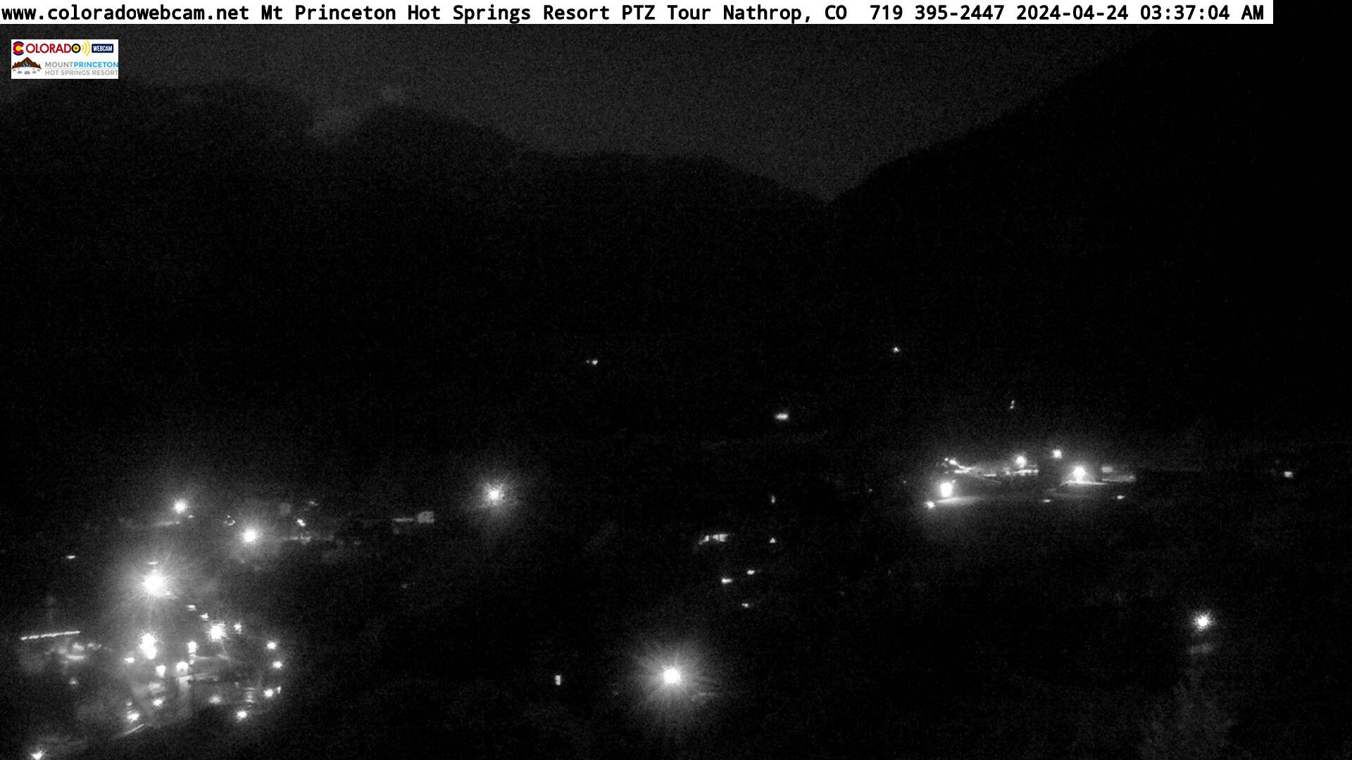
Mt Princeton - Pan-tilt Zoom
Mt Princeton - Static Zoom
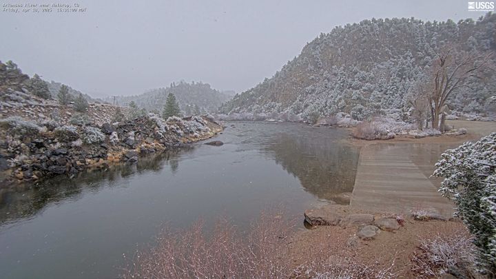
Arkansas River near Nathrop, CO
(from
USGS)

Browns Canyon National Monument, near Nathrop, Colorado
(from Coloradowebcam.net)
- Nathrop/Browns Canyon National Monument Map -
To see Mt Princeton's location, click on the minus sign once (found in the camera's control box on bottom right, and look west)
| Colorado Web Cams | Buena Vista | Crestone Weather Center |