
Peak to Peak Highway, Co Hwy 72, at Ward, looking west
(from CDOT)
Colorado Web Cams
Ward, Colorado
(Note: This page may need reloading on some browsers for new views)
Ward is a former mining settlement founded in 1860 in Boulder County, Colorado. The population was 128 at the 2020 census. It's elevation is 9,462 feet (2,884 meters). The town has a total area of just 0.6 square miles (1.6 km2), all of it land. Just 20 miles northwest of Boulder, the town played a major part in the Colorado Gold Rush, it once was home to the state's oldest and longest-lasting mining camps and at one point was the richest town in the state.Ward features an alpine and subarctic mountain climate characterized by cold, snowy winters and cool, short summers. It sees an average of 147.1 inches (374 centimeters ) of snowfall per season, from late fall through early spring, with April historically being the snowiest month.
Peak to Peak Highway, Co Hwy 72, at Ward,
looking west
(from
CDOT)
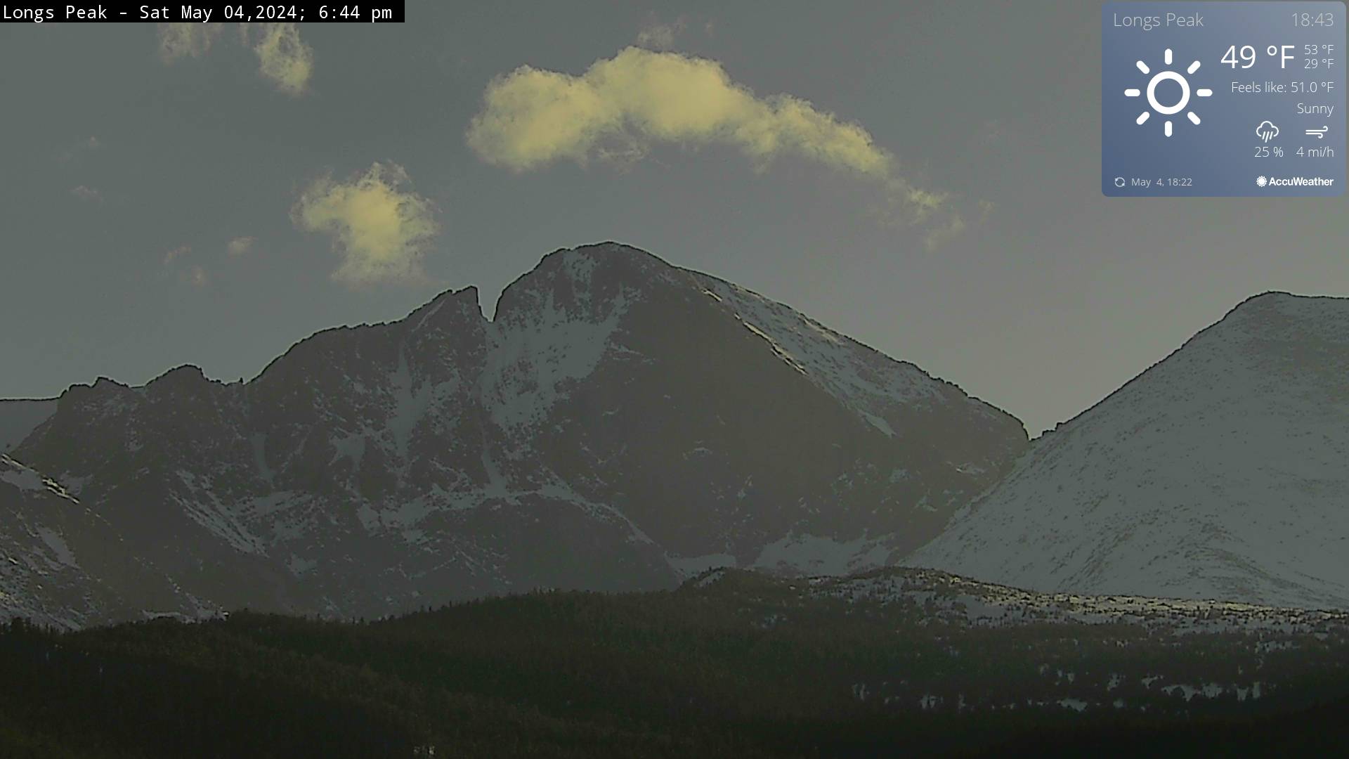
Long's Peak, to the west of Ward
(from
NPS)
- Map-
| Colorado Web Cams | Nederland | Crestone Weather Center |