Colorado Web Cams
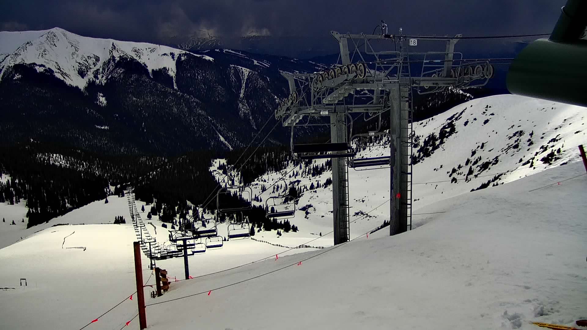
Arapahoe Basin, Colorado
(Note: This page may need reloading on some browsers for new views)
Arapahoe Basin; often shortened to A-Basin, is an
alpine ski area in the White River National Forest of Colorado. A-Basin is known for its extended season—usually staying open until June, and sometimes into early July*, whereas most other northern ski areas close in early April.
It also has a high-alpine summer season from June to September that includes a via ferrataa
(a climbing route that follows iron rungs), mountain biking and a Aerial Adventure Park.
Arapahoe Basin is located south of Loveland Pass on U.S. Highway 6 in Summit County.
Top elevation is 13,050 feet (3,978 meters), making for challenging,
high-altitude skiing. Its base elevation is at 10,780 feet (3,286 meters), and is among the highest in-bounds skiable terrain in North America. The resort's terrain spans over 1,400 acres
(5,665,604 square meters or 5.67 square kilometers), with a mix of groomed runs, moguls, cornices, and glades. It features a lift-served vertical drop of 2,270 feet
(691.896 meters) and is served by nine lifts, with easy access to 145 trails.
From the lifts, it offers views of the Continental Divide (which it borders) and
from the top of the ski area there are views of Lake Dillon, Breckenridge,
Keystone, Montezuma, and Loveland Pass
A-Basin
is geared toward advanced and expert skiers, with over 70% of its terrain rated
black or double-black diamond. Known for high-alpine, steep terrain including
the East Wall and Steep Gullies, it offers limited beginner terrain. Keystone is the closest population center
to A-Basin, about 10 miles (16 km) to the west. The towns of Dillon and Silverthorne, along I-70, are about 12 miles
(19 km ) away,
and it's located about 68 miles (109 km) west of Denver.
Average annual snowfall: 350 inches (890 cm).
*For the resort's latest closing date, A-Basin actually claims 2 dates. For the
latest closing of a season, that was on July 4, 2019, which closed out its
2018-2019 season. But then it also notes August 10, 1995.
Why? Well, this is the furthest into the summer the resort has ever remained open. During that 1994–1995 season, the mountain operated using a setup where skiers used a mid-station on the Lenawee Lift and
then walked to find
the remaining snow to ski on. For the record, its earliest opening date
was on October 9, 2009.
- All cams come from
ArapahoeBasin.com -
|
|
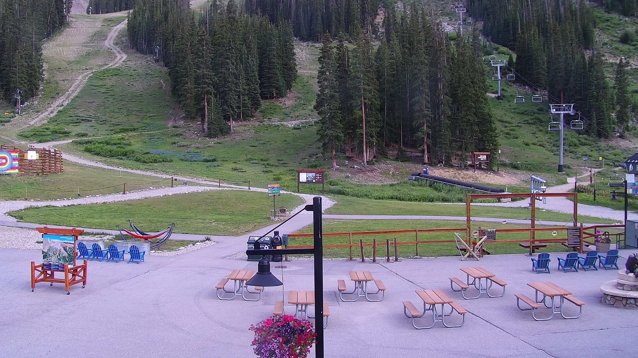 Arapahoe Basin - Mountain Goat Plaza
|
- All cams from
ArapahoeBasin.com -
- Map -