
CO 12 EB : 2.4 miles E of Cuchara Pass Summit: Looking East
(from CDOT)
Colorado Web Cams
Cuchara Pass, Colorado/La Veta, Colorado
(Note: This page may need reloading on some browsers for
new views)
Cuchara Pass (aka Cucharas Pass) is a 9,995 ft (3,031 m) elevation mountain pass in the Sangre de Cristo Mountains in south central Colorado. State Highway 12 (aka the Highway of Legends Scenic Byway) traverses the pass. The region gets its name from the spoon-like shape of the valley, with "cuchara" being the Spanish word for "spoon.". It's located west of the Spanish Peaks.
The Town of La Veta is also in Huerfano County, Colorado. The town population was 800
and falling as of the 2010 U. S. Census.
Note: CDOT is not maintaining
most of these cams at this time.
Please call and ask
CDOT to return these
cams asap!
The main customer service number for CDOT is (303) 757-9011.
CO 12 EB : 2.4 miles E of Cuchara Pass Summit: Looking East
(from CDOT)

CO 12, 2.4 mi E of Cuchara Pass Summit Looking
West
(from CDOT)
- Next web cams from La Veta -

CO 12 WB : 0.2 miles S of Cherry St in La Veta: Looking West
(from CDOT)

CO-12 @ Cucharas River, North of La Veta, Co
(CO-12 EB: 0.4 mi N of La Veta: from CDOT)
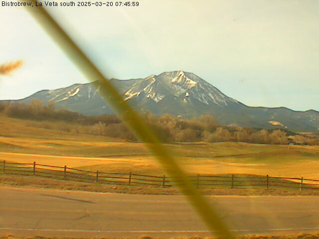
Hwy 12, looking south towards Cuchara and Spanish Peaks, La Veta, Co
(from the La Veta Weather station)

CO-12, 3.9 mi South of La Veta, Co
(Looking north, from CDOT)
- Cuchara, Co Map -
- La Veta, Co Map -
| Colorado Web Cams | La Veta Pass | Weston | Crestone Weather Center |